Planning is decided in scale, not prose. You can write a page about your extension; the council will decide it from the drawings — measured, comparable, to convention. This guide covers what a complete set looks like and how the person deciding actually reads one.
Scale
At 1:100, one centimetre on paper is one metre of building — the scale most floor plans and elevations use. At 1:50, everything doubles in size and detail.
Drawings must state their scale and carry a scale bar. “Not to scale” has no place on a planning set, and metric is the only unit that belongs on one.
The Measured Survey
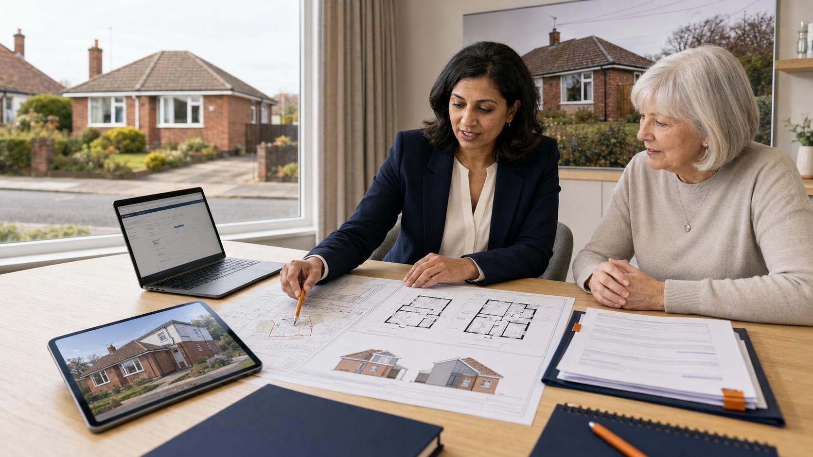
Every honest set starts with a tape measure, not a pencil. A measured survey records the building as it actually stands — rooms, walls, openings, heights and levels. Skip it, and every sheet that follows inherits the guesswork, and the errors surface at the worst moment: on site, priced in builder’s variations.
A Coordinated Drawing Set
Existing floor plans
The house as it is, every affected floor, at 1:100 or 1:50 — walls, openings, room uses, overall dimensions.
Proposed floor plans
The same floors, after. New walls distinguished from old by convention, demolition shown honestly, new room uses named.
Existing & proposed elevations
The outside faces of the building, before and after — heights, window positions, roof shapes and materials, labelled plainly.
Sections
Cuts through the building showing heights and levels — essential for lofts and dormers, sloping sites, and neighbour height relationships.
Roof plans & site layout
Complex roofs justify a roof plan; a site layout at 1:200 or 1:500 shows the proposal in its plot.
Commissioning drawings and not sure what to ask for?
We produce complete, surveyed planning sets — every sheet this article describes, itemised in the quote — drawn to the conventions officers expect.
Five Fast Questions
Can I compare before and after instantly?
Can I measure what I need?
Do I know what it’s made of?
Can I see the neighbours?
Does everything agree?
Fail one and the officer must ask, and a set that makes an officer ask is a set that’s already cost you goodwill and time. Every sheet should also carry a proper title block — project, drawing name, number, scale, date.
Already have drawings and unsure they’ll survive scrutiny?
We review existing sets against the officer’s five questions before anything is submitted — fixing the gaps, the scales and the inconsistencies while they’re still cheap to fix.
Who Can Draw Them?
Legally, anyone can prepare planning drawings; no professional title is required. The quality that matters is planning literacy — knowing what officers check and how a line on an elevation becomes an argument in the report.
After approval, the same sheets grow their second life: dimensions tighten, structure and insulation join the drawings, and the set becomes the technical package that building regulations assess.
Want drawings that won’t need redrawing after approval?
We design the planning set for its second life from the first survey, so it grows into the technical package without starting again — one commission, both approvals served.
Six Common Faults
- 01 Proposed drawings without existing ones — removing the comparison the decision is made on.
- 02 The missing elevation — “no one sees that side” is a judgement for the officer, not the drawer.
- 03 Sets scaled from estate agent floor plans or photographs instead of a survey.
- 04 Materials described nowhere, or only on the form.
- 05 Level land assumed on a sloping site.
- 06 Revisions issued under unchanged drawing numbers, breeding version chaos.
Planning Drawings FAQs
Select a question to reveal the answer.
What drawings do I need for a house extension?
As a baseline: existing and proposed floor plans of every affected storey, existing and proposed elevations of every affected face, and a site layout showing the extension in its plot — with a section added where heights or levels matter. Your council's validation list confirms the exact set.
Can I draw my own planning drawings?
You may — no law reserves them to professionals. The honest question is whether your drawings can speak the conventions this article describes: surveyed dimensions, true scales, existing-versus-proposed comparison, labelled materials.
What scale should planning drawings be?
Floor plans, elevations and sections are conventionally 1:100 or 1:50; site layouts 1:200 or 1:500. Each drawing must state its scale and carry a scale bar.
What does “existing and proposed” actually mean?
Two versions of the same drawing: the building as it stands today, and as it will stand after the work — the pair is the evidence a comparative decision needs.
Do I need a section drawing?
When the vertical dimension carries the argument: loft conversions and dormers, sloping ground, and anywhere the height relationship to a neighbour will be examined.
Do my drawings need to show the neighbours’ houses?
Street-facing and boundary-facing elevations are far stronger with adjoining buildings shown in outline, because the officer's core question — impact — becomes visible rather than imagined.
What is a measured survey and do I really need one?
It's the on-site recording of the building's true dimensions, openings and levels that the whole set is then drawn from. For anything beyond the most trivial works, yes.
What format do councils want drawings in?
PDF, drawn on standard paper sizes so the stated scales hold when printed, uploaded with the application, with the drawing number in the file name.
Can I revise drawings during the application?
Yes, and revisions are normal — but each revised sheet needs a new revision reference and a note of what changed, so the council can point to an exact version.
Are 3D images or CGI required?
Never required, sometimes wise. Visualisations don't replace the measurable drawings this article describes, but on sensitive or contested schemes a good one can answer "what will it actually look like?" more persuasively than any elevation.
A Measured Argument
A planning drawing set is a measured argument: scales an officer can put a rule on, a survey underneath so the measurements are true, existing and proposed sheets that make the decision’s comparison effortless, elevations that show materials and neighbours, sections where height is the story.
If a stranger can understand the building, measure the change and see its impact in a few minutes, the drawings are doing their job.